Our website is made possible by displaying online advertisements to our visitors.
Please consider supporting us by disabling your ad blocker.
Hochgall
| Hochgall | ||||
 Le Hochgall depuis l'ouest. | ||||
| Géographie | ||||
|---|---|---|---|---|
| Altitude | 3 436 m[1] | |||
| Massif | Hohe Tauern (Alpes) | |||
| Coordonnées | 46° 54′ 45″ nord, 12° 08′ 30″ est[1] | |||
| Administration | ||||
| Pays | ||||
| Région à statut spécial | Trentin-Haut-Adige | |||
| Province autonome | Bolzano | |||
| Ascension | ||||
| Première | 1854, par Hermann van Acken | |||
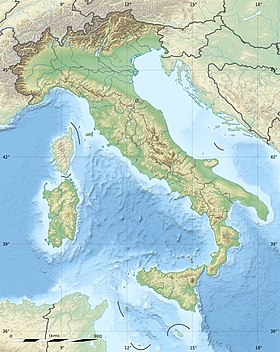
| Géolocalisation sur la carte : Italie
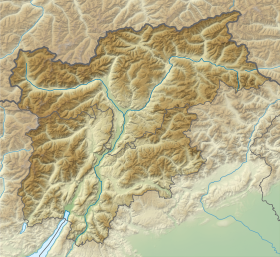
Géolocalisation sur la carte : Trentin-Haut-Adige
Géolocalisation sur la carte : province autonome de Bolzano
| ||||
| modifier |
||||
Le Monte Collalto (Hochgall en allemand) est un sommet des Alpes, à 3 436 m, dans les Hohe Tauern, et plus particulièrement le point culminant du chaînon de Rieserfern, en Italie (province autonome de Bolzano).

- Visualisation sur le géoportail italien.
Previous Page Next Page


