Our website is made possible by displaying online advertisements to our visitors.
Please consider supporting us by disabling your ad blocker.
Leicester Square
| City of Westminster | |
 Leicester Square, 2008 | |
| Państwo | |
|---|---|
| Miejscowość | |
Położenie na mapie City of Westminster  | |
Położenie na mapie Wielkiej Brytanii  | |
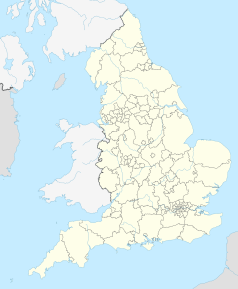
Położenie na mapie Anglii  | |
Położenie na mapie Wielkiego Londynu  | |
| 51°30′37″N 0°07′49″W/51,510278 -0,130278 | |
Leicester Square – plac w centralnym Londynie (Anglia), w dzielnicy teatrów West End. Położony jest kilkaset metrów od Trafalgar Square, Piccadilly Circus, Covent Garden i Cambridge Circus. Stanowi centrum rozrywki i jedną z głównych atrakcji turystycznych miasta.
Previous Page Next Page


