Our website is made possible by displaying online advertisements to our visitors.
Please consider supporting us by disabling your ad blocker.
Onslow Bay

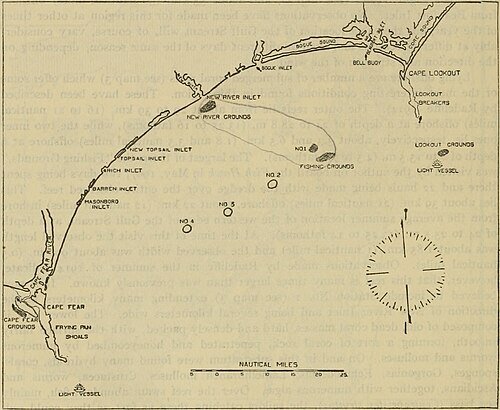
Onslow Bay is an indentation of the North Carolina coast, between Cape Fear in the south and Cape Lookout in the north. Thirteen barrier islands form the shore of the bay. It is part of the open Atlantic Ocean and affords no protection from oceanic swells.
Previous Page Next Page


