Our website is made possible by displaying online advertisements to our visitors.
Please consider supporting us by disabling your ad blocker.
Gateshead Island
| Umingmalik Gateshead Island | ||
|---|---|---|
| Gewässer | McClintock-Kanal | |
| Inselgruppe | kanadisch-arktischer Archipel | |
| Geographische Lage | 70° 36′ N, 100° 26′ W | |
|
| ||
| Länge | 30 km | |
| Fläche | 220 km² | |
| Höchste Erhebung | 40 m | |
| Einwohner | unbewohnt | |
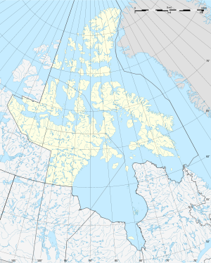
Gateshead Island (Inuktitut: Umingmalik)[1] ist eine unbewohnte Insel im kanadisch-arktischen Archipel in der Kitikmeot-Region des kanadischen Territoriums Nunavut.
Die Insel liegt im McClintock-Kanal, ca. 50 km östlich von Victoria Island. Südlich der Insel beginnt der Larsen Sound. Ihre Fläche beträgt 220 km².[2]
Sie ist ein bedeutendes Eisbären-Gebiet.[3]
- ↑ Darren Keith: Inuit Qaujimaningit Nanurnut Inuit Knowledge of Polar Bears (PDF; 7,0 MB). Gjoa Haven Hunters’ and Trappers’ Organization and CCI Press, 2005, Appendix 5.
- ↑ The Atlas of Canada – Sea Islands ( vom 6. Oktober 2012 im Internet Archive) (englisch)
- ↑ R. E. Schweinsburg, W. Spencer, D. Williams: Polar Bear Denning Area at Gateshead Island, Northwest Territories (PDF; 230 kB). In: ARCTIC Band 37, Nr. 2, Juni 1984, S. 169–171.
Previous Page Next Page


